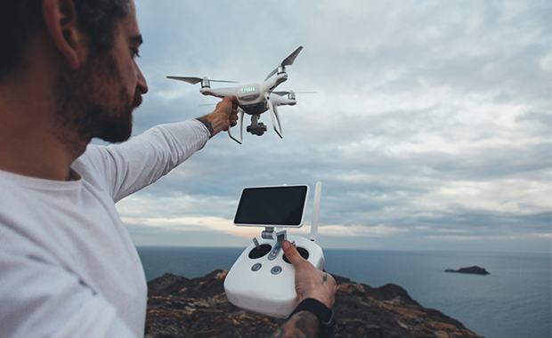
Drones for Geological Survey
With development initially driven by the military, drones have expanded into a plethora of new sectors and are now common in mapping geology and targets of interest. Couple that with small lightweight UAV mounted magnetometers such as GEM Systems DRONEMag™ and Geometrics MagArrow™ and the ability to add other sensors from visible light cameras to gamma ray, infrared or LiDAR and you have a winning solution in mapping the subsurface.

